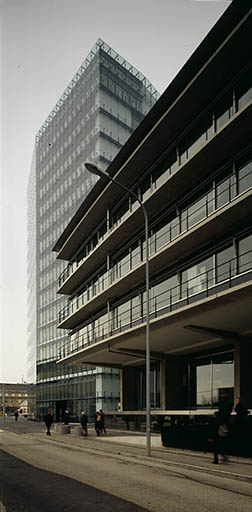
The FSO is Switzerland's national competence centre for official statistics. It produces and publishes statistical information on the status and development of the population, economy, society, education, research, territory and the environment. This information is used for opinion building among the population and for the planning and management of key policy areas. They make an important contribution to a modern, democratic state.

More information: https://www.bfs.admin.ch

3 datasets found

  • Federal Register of Buildings and Dwellings: building status

    Federal Statistical Office FSO
    Regions and cities, Environment

    The Federal Register of Buildings and Dwellings (RegBL) was created on the basis of information from the 2000 population census for statistical purposes. The RDB has established...

    Last updated: July 1, 2017

    • SERVICE
    • WMS
    • WMTS
    • API
    • register
    • e-geoch
    • official-geoservice
    • construction
    • conservation-and-archiving-planning-aap---confederation
    • building-address
    • addresses
    • buildings
    • dwelling
    • statistics
    • fsdi-federal-spatial-data-infrastructure
  • Federal register of Buildings and Dwellings: energy/heat source heating

    Federal Statistical Office FSO
    Regions and cities, Environment

    The Federal Register of Buildings and Dwellings (RBD) was created on the basis of information from the 2000 population census for statistical purposes. The RBD has established...

    Last updated: July 1, 2017

    • WMS
    • WMTS
    • API
    • SERVICE
    • register
    • e-geoch
    • official-geoservice
    • construction
    • conservation-and-archiving-planning-aap---confederation
    • building-address
    • addresses
    • buildings
    • statistics
    • dwelling
    • fsdi-federal-spatial-data-infrastructure
  • Land use statistics - Forest mixture ratio 1990

    Federal Statistical Office FSO
    Regions and cities, Environment

    In 1996, as part of the project "Forest differentiation using digital satellite imagery", two datasets covering the whole of Switzerland were created on the basis of Landsat TM...

    Last updated: January 1, 1990

    • SERVICE
    • WMS
    • WMTS
    • HTML
    • e-geoch
    • official-geodata
    • conservation-and-archiving-planning-aap---confederation
    • remote-sensing
    • classification
    • satellite-image
    • digital-image-processing-technique
    • coniferous-forest
    • mixed-woodland
    • forest-ecosystem
    • wood
    • deciduous-forest
    • land-cover
    • fsdi-federal-spatial-data-infrastructure